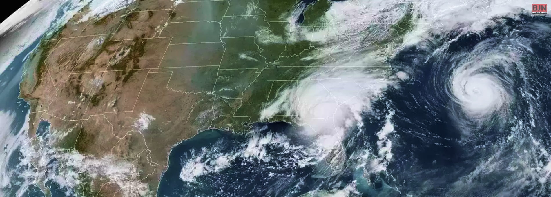
Tropical Storm Lee Churns Across Atlantic Toward Caribbean As It Strengthens Into A Hurricane

Table Of Contents
Tropical Storm Lee strengthened into a hurricane as it ruffled through the ocean water of the Atlantic on the path. It would take this Hurricane near the northeast Caribbean. The Hurricane was located about 1,815 Kilometers east of the northern Leeward Islands.
The maximum speed of sustained wind is up to 120 Kilometers per hour, and it was moving at 22 Kilometers per hour to the west-northwest side as per the reports of the National Hurricane Center.
In the Atlantic Hurricane season, Lee is the 12th named storm that usually runs between June 1 and November 30. It has been expected that this storm might turn into a horrendous and major hurricane by early Saturday.
Thus, the Hurricane is predicted to generate a life-threatening swell estimated to hit the Lesser Antilles on Friday. “The National Ocean and Atmospheric Administration” reminded people that this year’s season would produce more storms than normal. Up to 21 storms are forecasted, and two to five are becoming major hurricanes.
According to wvtm13.com, “In the Pacific, Jova strengthened into a Category 4 hurricane far off the southwest coast of Mexico and posed no threat to land. It was located some 565 miles south-southwest of the southern tip of Baja California and moving west-northwest at 15 mph with wind up to 130 mph. The storm was expected to keep growing stronger.” Meteorologist chief for AccuWeather stated, “It has the potential to become a powerhouse Category 5 hurricane, the strongest hurricane of the year.”
Learn More About:


